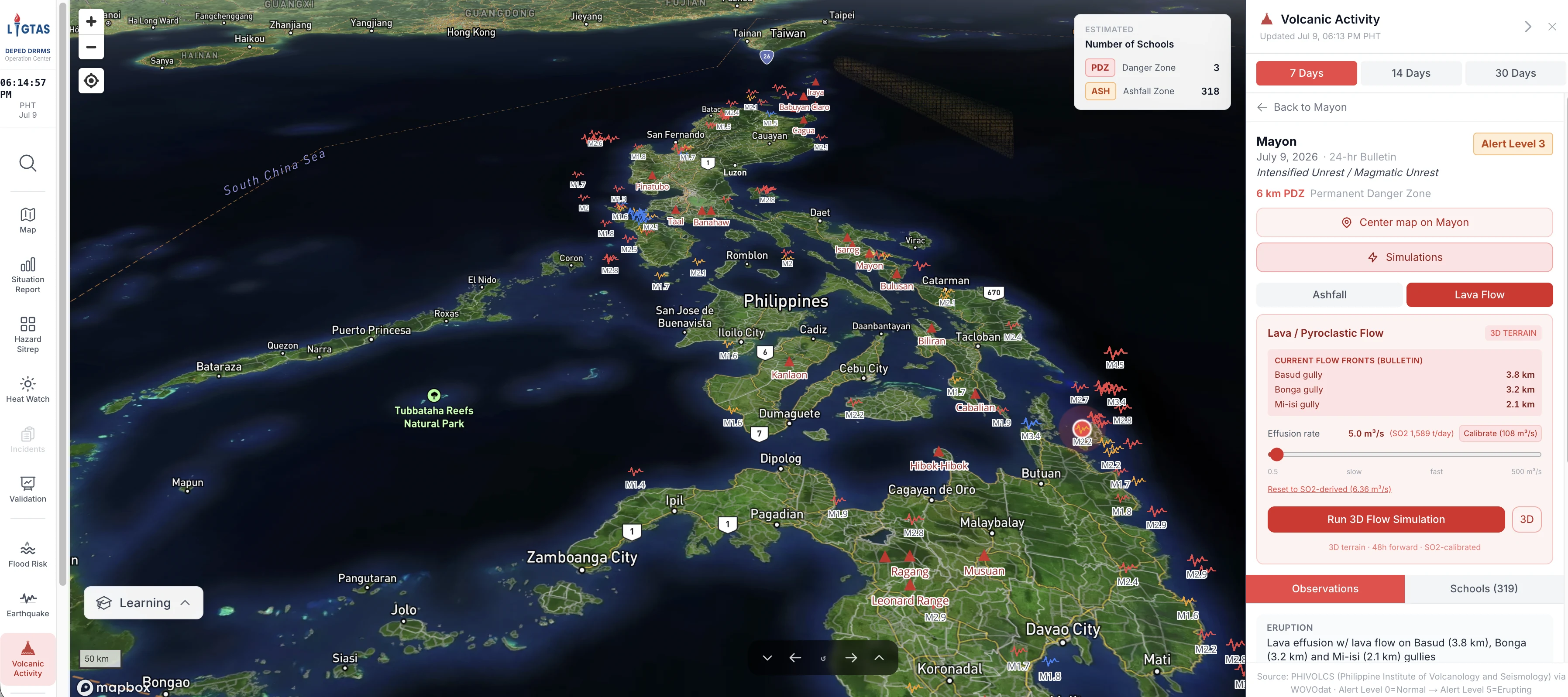
LIGTAS+, the Learning Institution Geohazard Tracking and Assessment for Safety, is ECAIR's multi-hazard geospatial risk-assessment platform for school disaster preparedness. It brings flood, heat-index, typhoon, landslide, seismic, and volcanic intelligence into school-level hazard profiles that can support operational decisions, including class-suspension and safety planning across the national school network. Its public value is clearer, more localized risk intelligence for protecting learners, teachers, and school communities.
In terms of strategic alignment, LIGTAS+ supports EDCOM II reform themes on school infrastructure, resilience, and data-informed governance by strengthening operational decision-making for schools. It aligns with Q-BEDP priorities on safe and resilient schools, PREXC operating needs for disaster preparedness and school operations, and Philippine Development Plan priorities on disaster resilience and public-sector digital transformation. Its AI governance alignment is especially important because the platform applies geospatial modeling and weather intelligence to safety-related decisions.
ECAIR partners with DRRMS on LIGTAS+ as the latter is the process owner for school disaster preparedness workflows. The team also works with the Office of the Secretary, the Operations strand, and ICTS on the long-term operationalization of the system.
LIGTAS+ has already completed User Acceptance Testing with DRRMS on April 19, 2026. It's been contributing to the situational reports regularly released by the DRRMS team.