
Summary
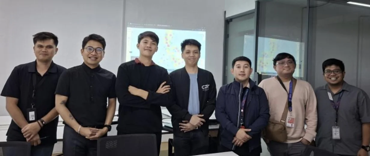
On April 19, 2026, the ECAIR team completed User Acceptance Testing (UAT) for LIGTAS+ with the DepEd Disaster Risk Reduction and Management Service (DRRMS). The session produced a conditional acceptance. Two weeks earlier, on March 31, the team had presented the beta to the DepEd Executive Committee.
Presentation to the DepEd Executive Committee
Ahead of the UAT, the ECAIR team met with Undersecretary Malcolm Garma to prepare a broader presentation of the platform. That discussion set out how LIGTAS+ fits alongside the tools DepEd already uses. Together with PlanSmart, LIGTAS+ supports DRRMS in making data-informed decisions on class suspensions, hazard monitoring, and school-level risk assessment during natural disasters.
On March 31, 2026, the team presented LIGTAS+ to the DepEd Executive Committee, with Secretary Sonny Angara present.
User Acceptance Testing with DRRMS
The UAT ran as a full walkthrough of the platform's operational workflow. The team took DRRMS operations staff through each analytical component against real hazard scenarios drawn from DRRMS planning needs: AI weather forecasting, real-time satellite cloud imagery, school-level risk profiling, flood inundation detection, earthquake shaking assessment, and volcanic danger-zone monitoring with ashfall dispersion.
Participants worked with the platform directly. They searched and filtered schools across the national inventory and reviewed how risk information surfaces at the municipality and institution level. The walkthrough also showed how LIGTAS+ turns geospatial and atmospheric data into outputs that administrators and DRRMS staff can act on.
The session closed with a conditional acceptance. Stakeholders recognized the platform's analytical value and flagged user-experience refinements for the next development phase. The team documented all feedback from DRRMS personnel and will fold it into a structured improvement plan.
AI Weather Forecasting
The weather engine drew close attention during the UAT. It runs three atmospheric models, FourCastNetV2, PanguWeather, and Aurora, to produce 10-day forecasts across several variables: surface temperature, precipitation, wind speed and direction, sea-level pressure, and derived indicators such as the heat index. A physics-constrained super-resolution step then sharpens the raw model output fourfold, translating weather intelligence into municipality- and school-level planning views for DepEd use.
Related Work
See the LIGTAS+ project write-up for the handover and governance path.